|
|

|

Satellite sighting
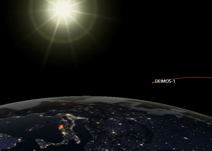
Satellites can be seen with the naked eye, or with a telescope, from an observer location on the Earth, when the satellite is sufficiently close, is illuminated by the sun and the observer is at a night-time or close to night-time location.
The satellite sighting function allows to obtain these observation timelines.
The function is called from menu Visibilities / Satellite sighting .... The menu is active only if there are satellites selected in the satellites scenario tree.
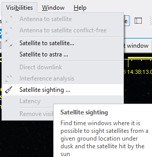
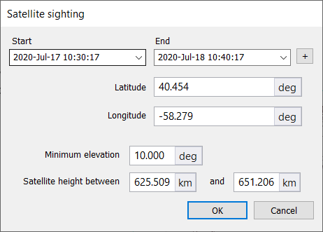
SaVoir will open a configuration dialogue, which allows to define
- the time period of analysis, initially the same of SaVoir simulation scenario
- the Latitude and Longitude of the observer location. The initial values are those of the centre of SaVoir map in its current view.
- Minimum satellite elevation threshold, as seen from the observer, to consider a sighting event.
- Satellite orbit height range for valid observations. Initially configured with the current selected satellites minimum and maximum heights.
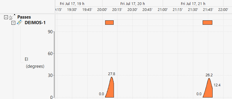
SaVoir will generate a sighting Gantt and a sighting report view.
In the Gantt view you may access tools to display the elevation and / or azimuth profile of each pass
Multisatellite Swath Planner - © Taitus Software Italia srl All rights reserved- info: support@taitus.it